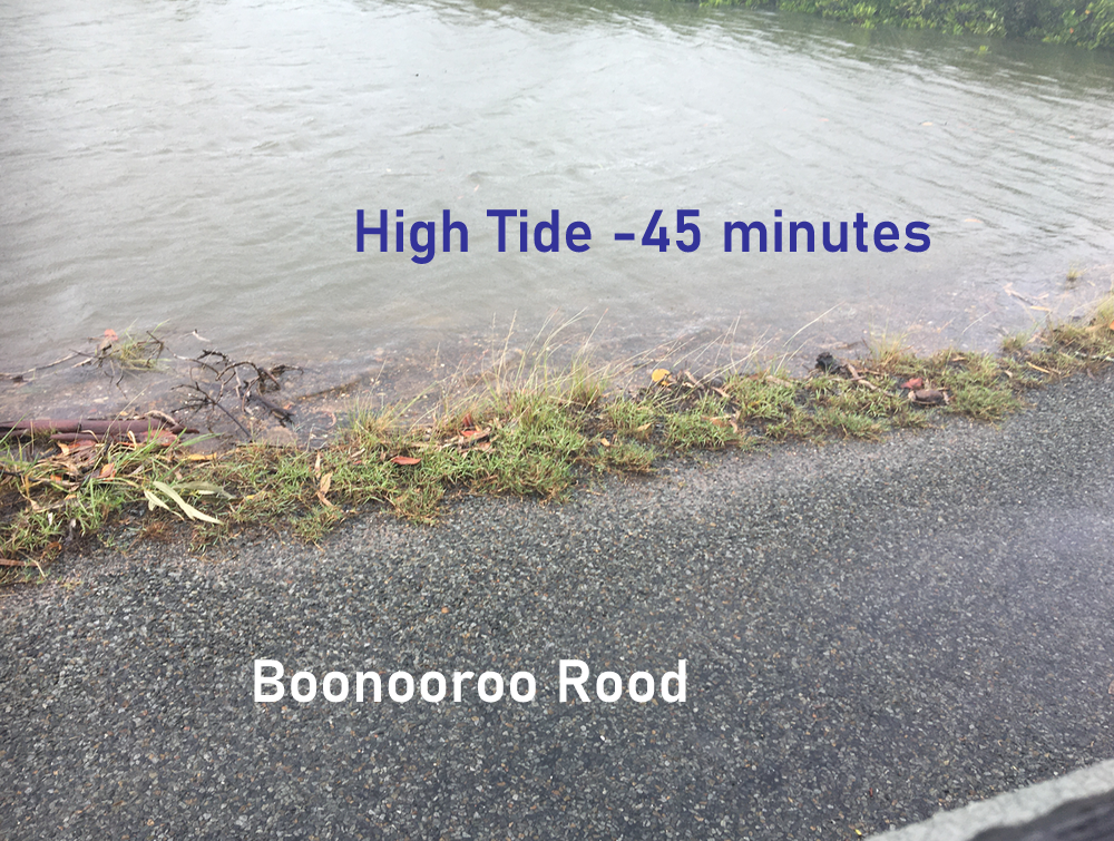
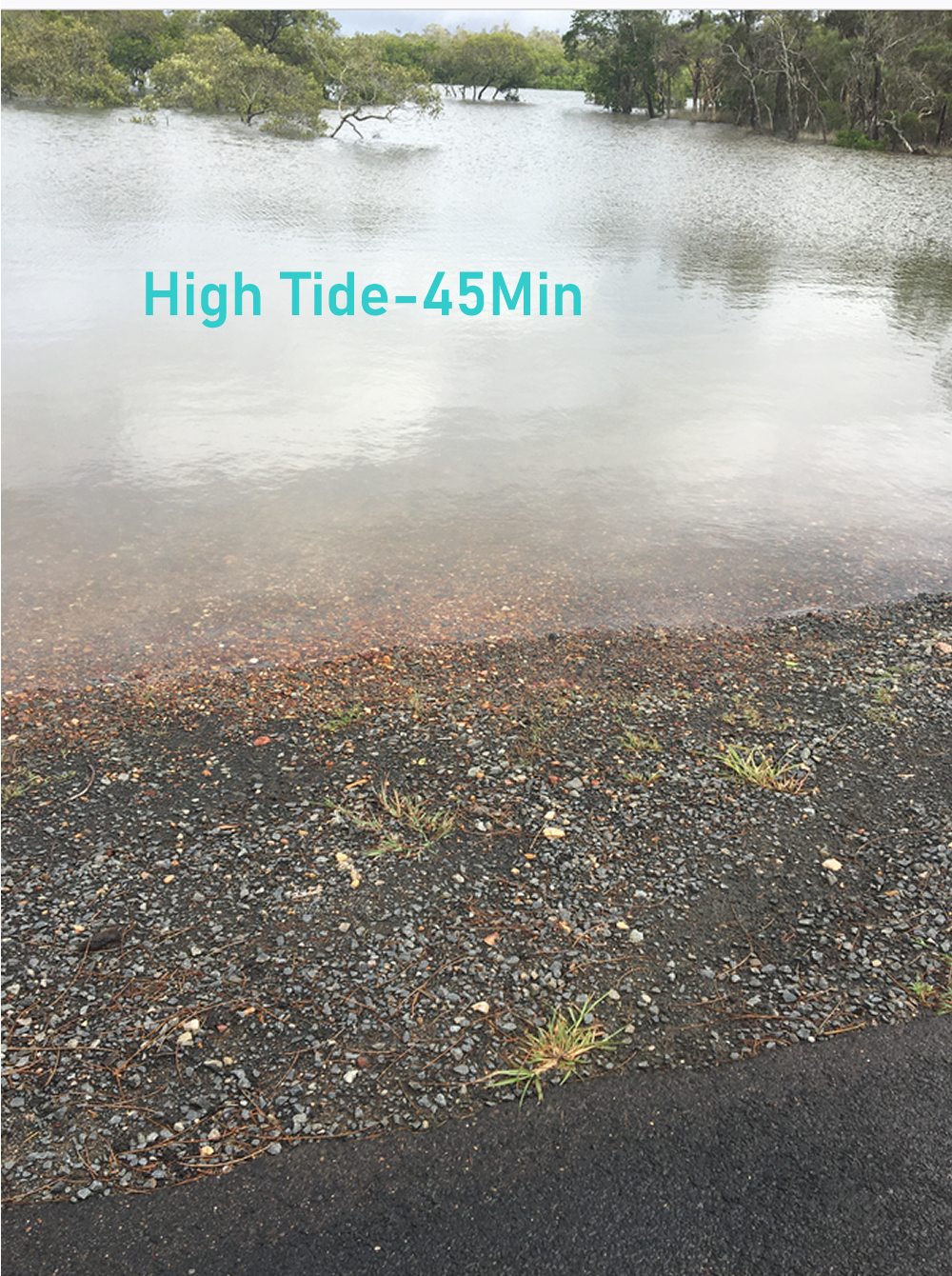
 The height of the high tide can clearly be seen from the debris line.
The closest tidal data I could get was the chart for Waddy Point on Fraser Island
I arrived on-site at about 45 minutes after the predicted high tide (7:50am) and AHD of 2.28m
How accurate the data is for Tuan is a matter of conjecture.
From what I've read there are influences in the Great Sandy Strait (GSS) which modify outcomes of tidal events.
But I suspect it would not be out by any reasonable margin for either the time or the heights
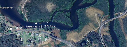
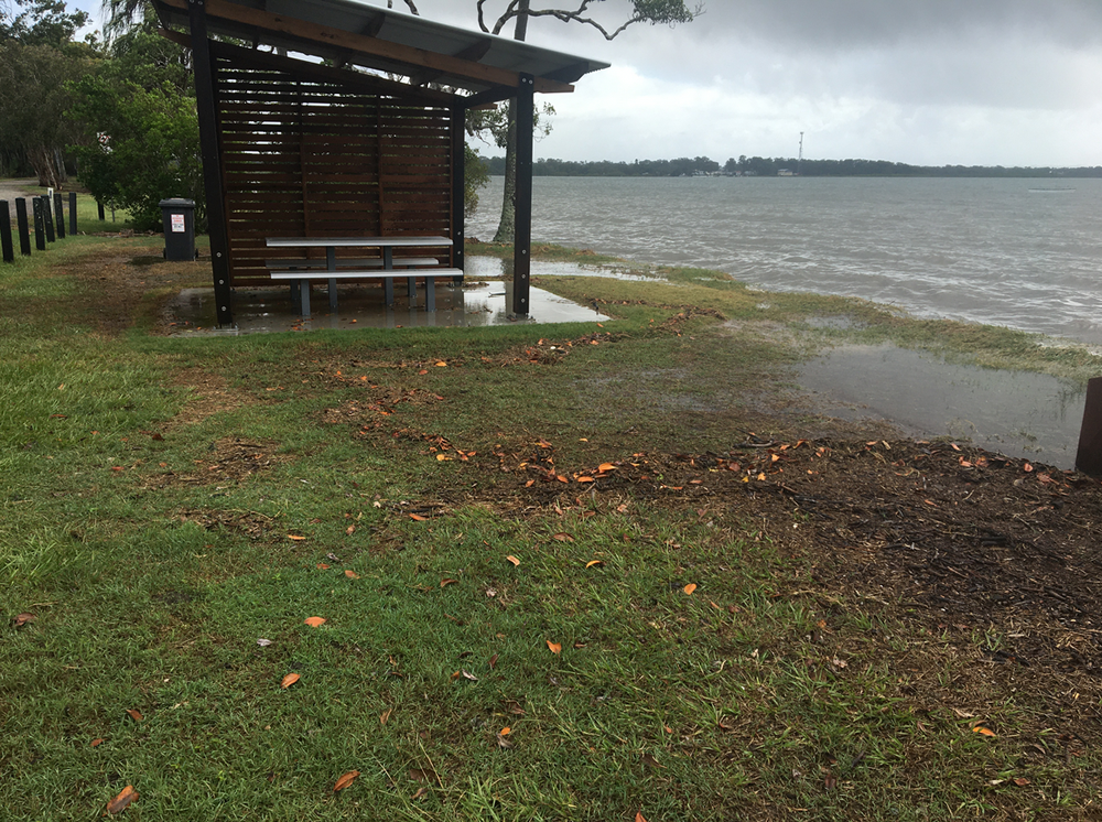
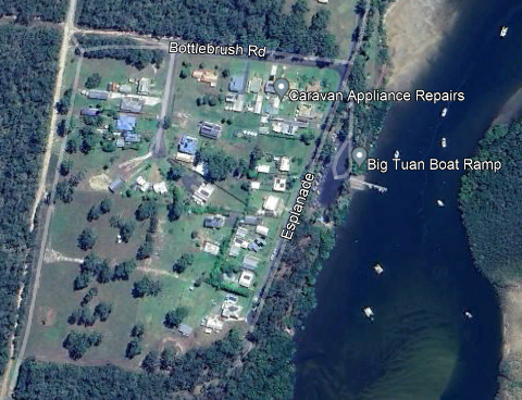
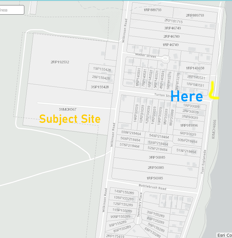
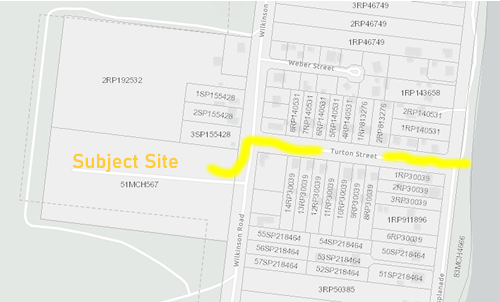
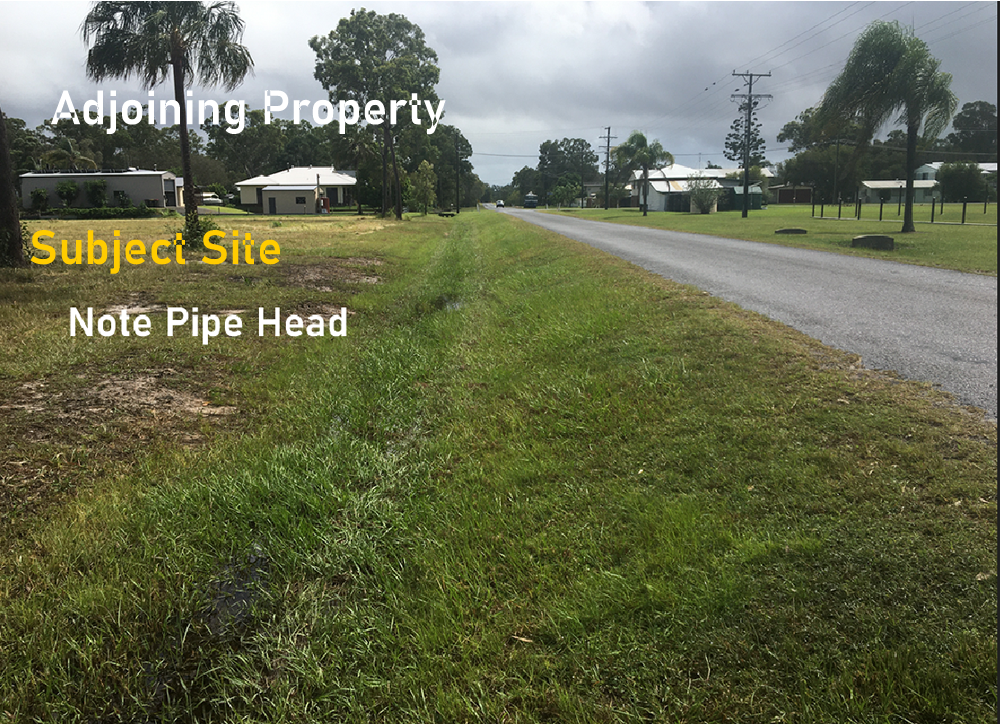
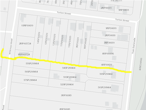
This public facility is almost opposite Turton Street which leads to Wilkinson's Road and the subject site
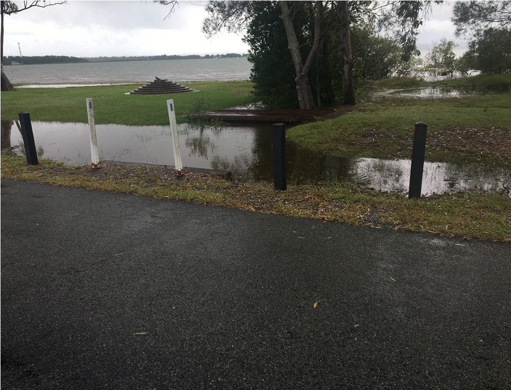
The facility above is located in part of this foreshore public park on the Esplanade.
The water alongside the road and in the park is seawater
Not shown is a child's playground equipment which has been fenced off by Council because it's starting to collapse into the Bay as a consequence of erosion

This is the southern end of the public park and abuts the boat ramp
You can see the frontal Dune line which would have marked the full extent of the previous stable and non-effected land above the highest tide level.
This is the view from Bottlebrush Road looking back to the Esplanade.
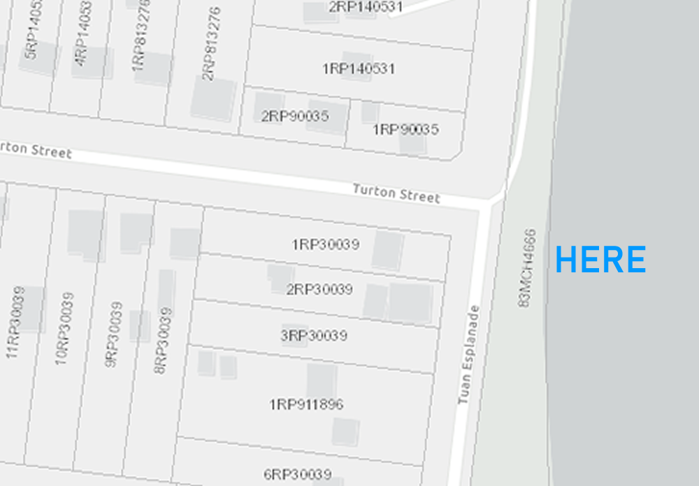
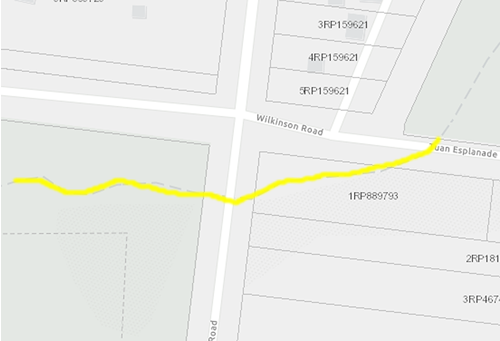
You'll see, on the map insert, left-hand side - (facing the sea) are lots 1 to 3 of RP 50385.
My understanding is they are also the subject of development proposal currently before Fraser Coast Regional Council.
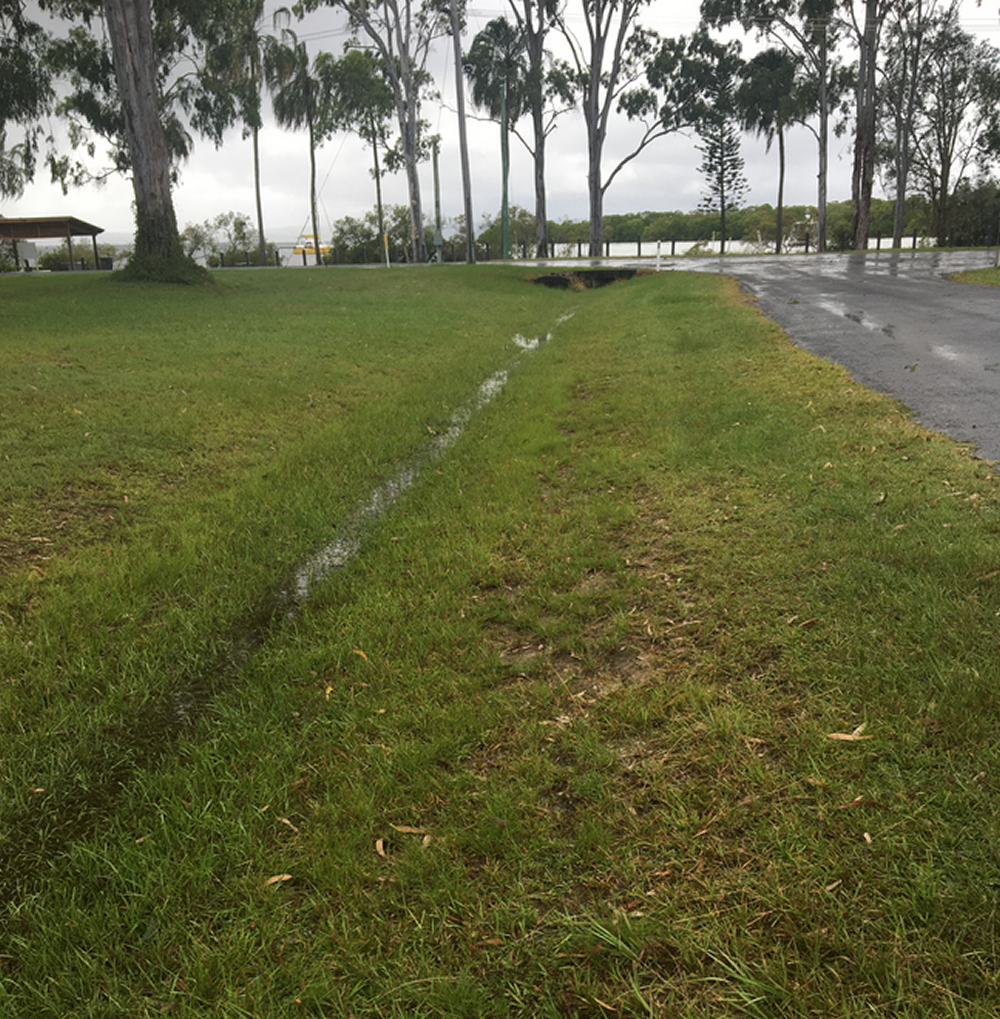
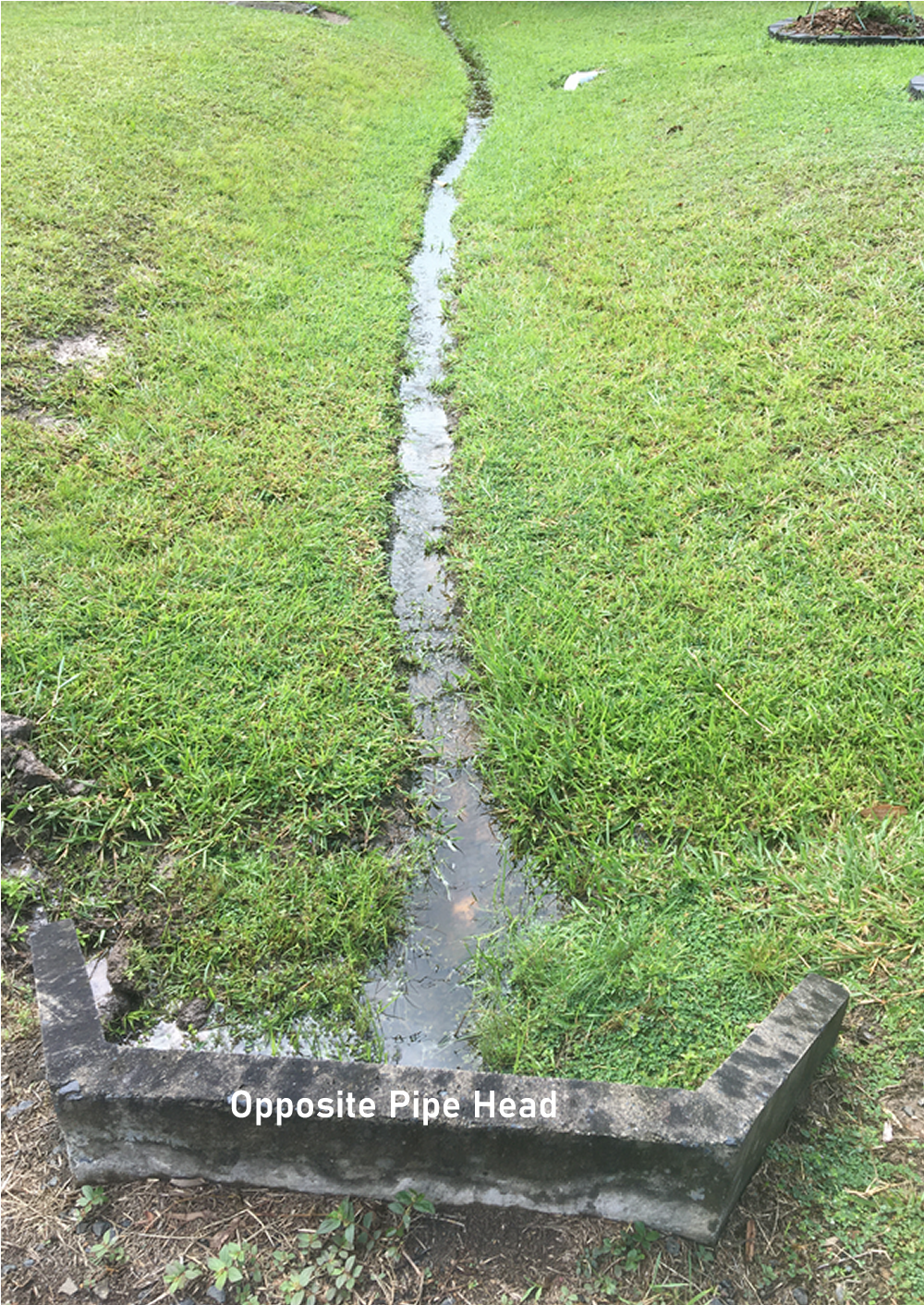
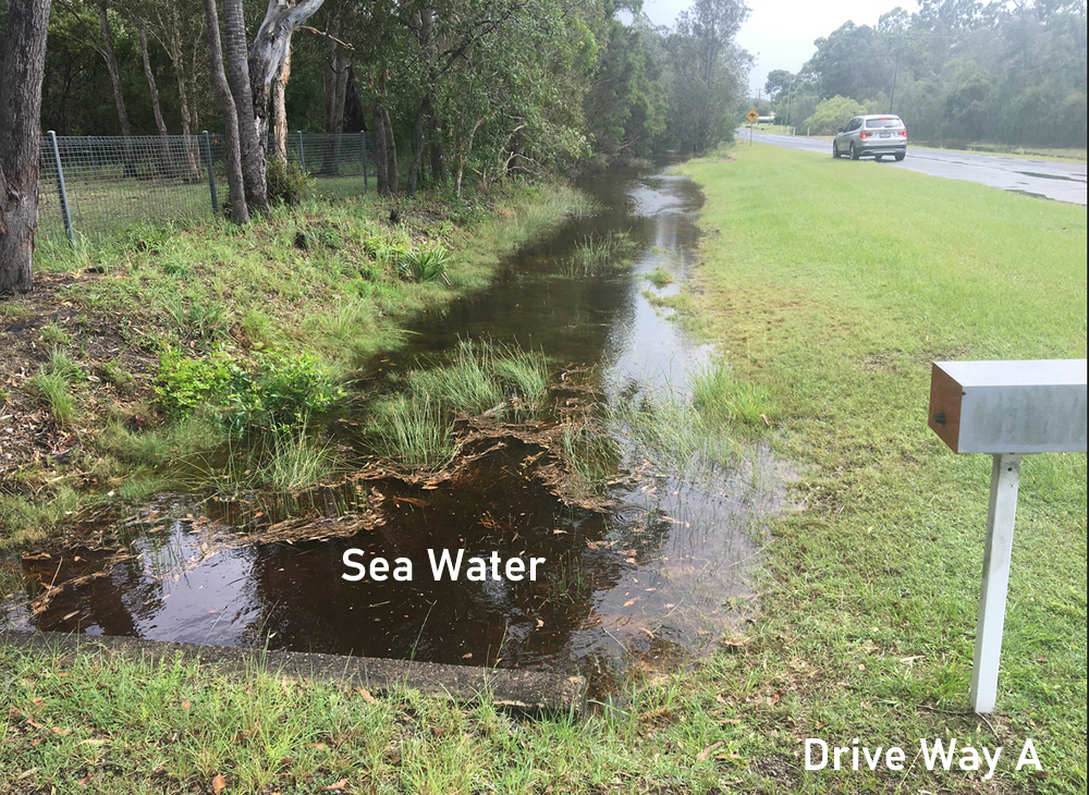
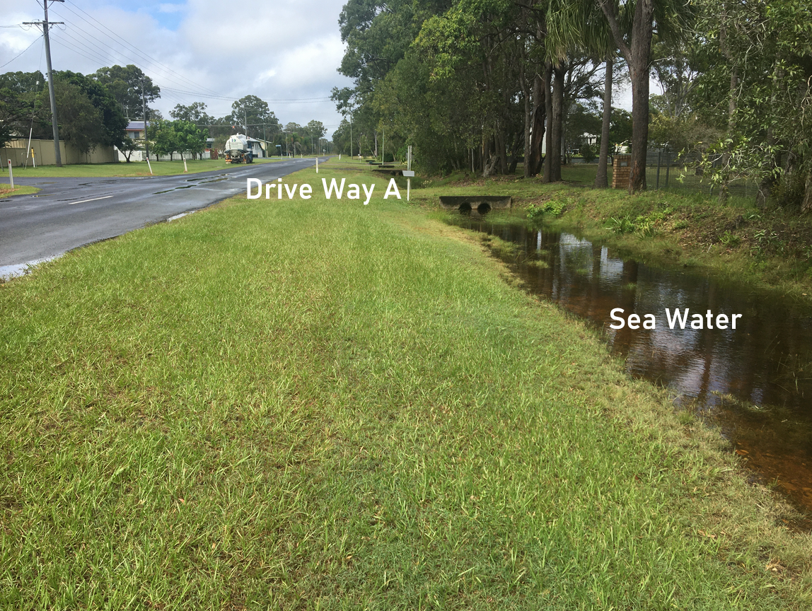
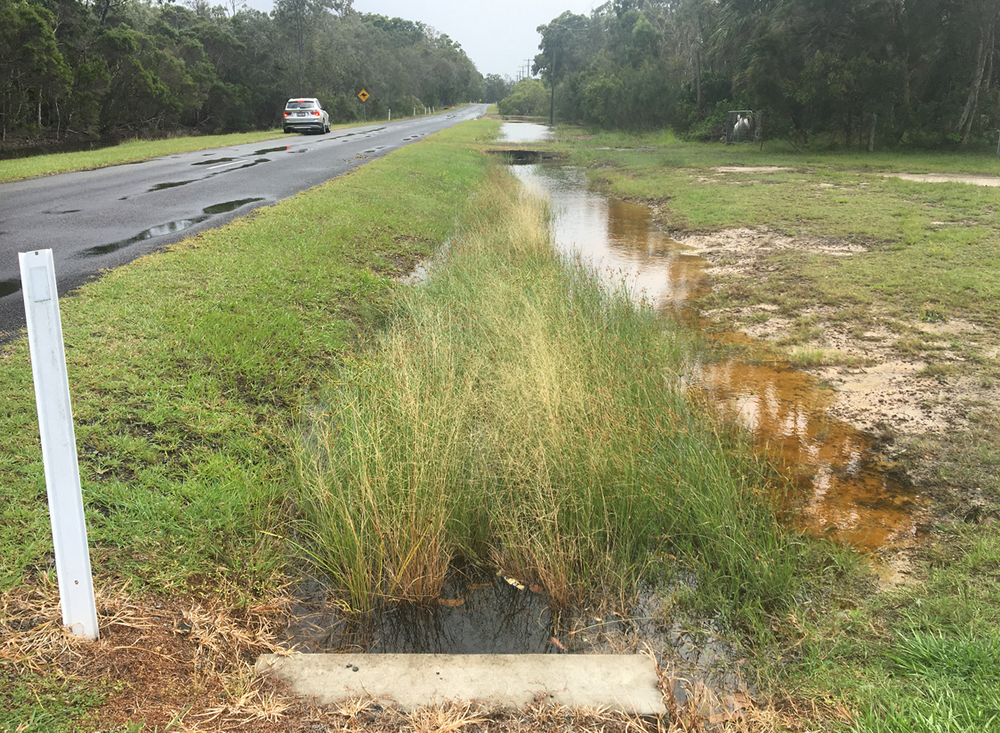
The water you see in the swale drain I believe is seawater
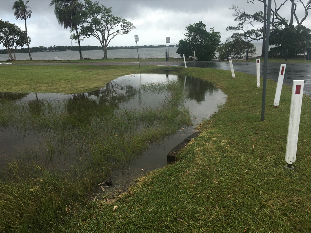
 As can be seen, the sea water has come through the stormwater drainage system.
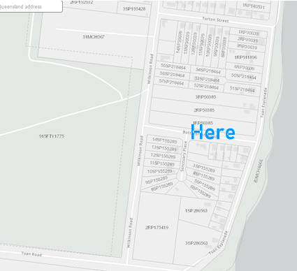
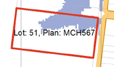
As mentioned above Turton Street comes up almost to the corner of Lot51 MCH567 (subject site)
Turton Street is also the street that the Council's engineer has nominated as being the one required to take the stormwater run-off from the subject development.
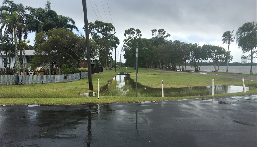
Here the sea water flows along Tuan Esplanade and down Turton Street after it enters the stormwater system.
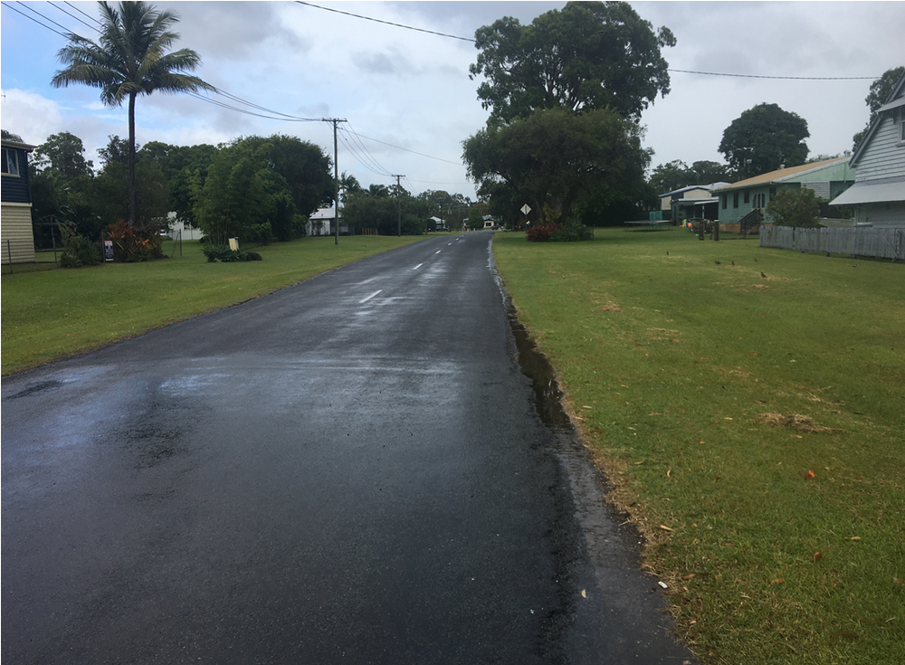
Turton Street
Although it's not significant and I don't have any levels, BUT as you can see Turton Street has a slight rises about the middle and then falls away in both directions west towards Wilkinson Road and east to Tuan Esplanade.
Turton Street you will see on the map leads almost, to the Subject Site in Wilkinson Road.
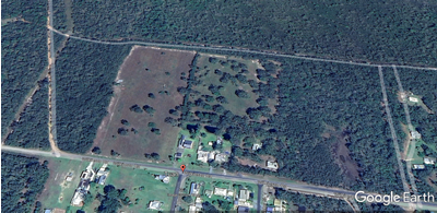
SUBJECT LOT
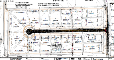
LOT LAYOUT
SLR-EFFECTED LOTS
.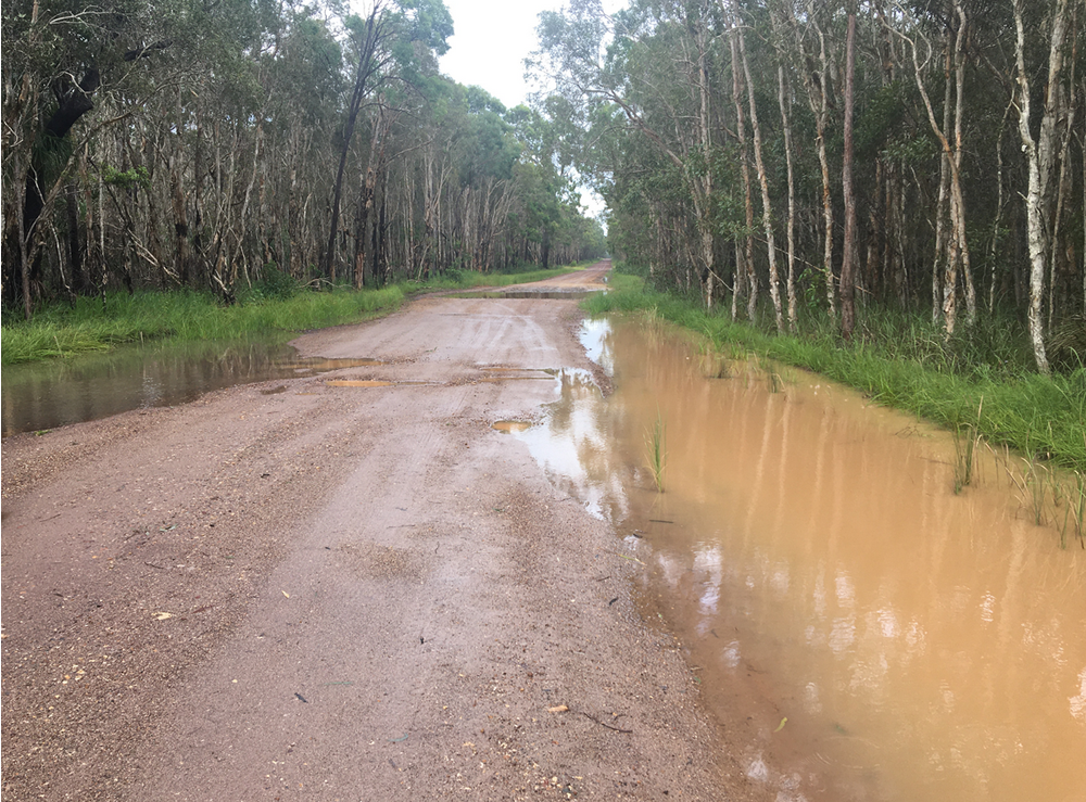
Forestry Road

Located due south of the block I suspect it makes a small contribution to the collection and discharge of stormwater run-off but there doesn't appear to be any supporting stormwater infrastructure to move it off Wilkinson's Road when it arrives
Obviously it trans-versus a Paper-bark tree wetland swamp
Subject Site on Left; Looking North Along:
Wilkinson Road
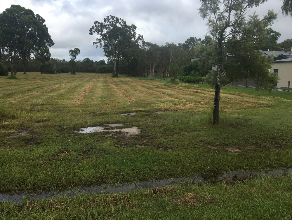
Northern Boundary
Adjoining Property
Lot3 SP155428
Looking South Along Wilkinson Road
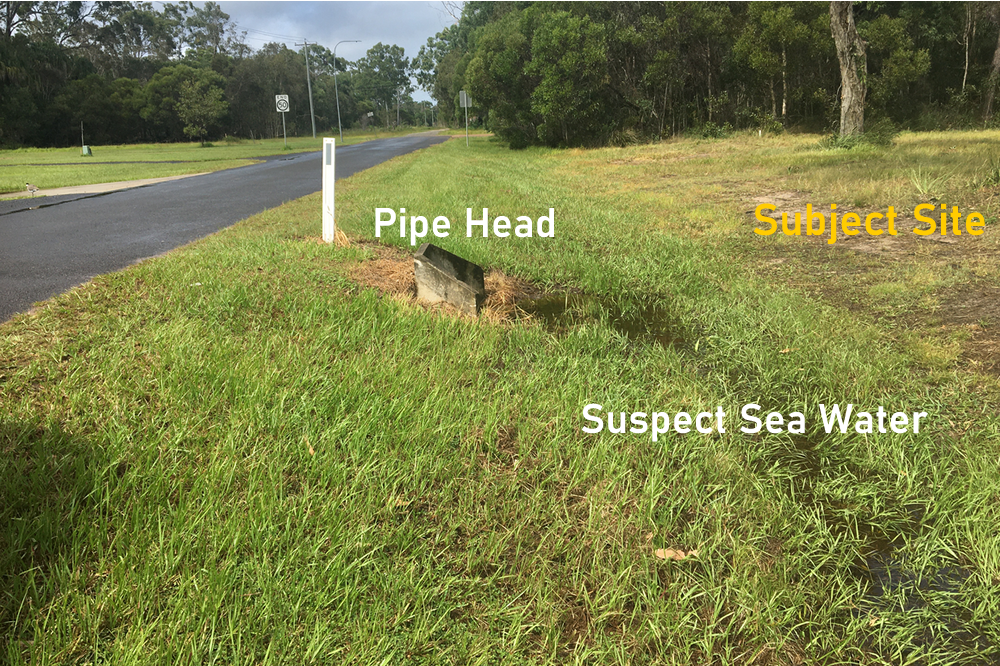
At the time of my inspection water was coming out of the pipe and flowing along the drain in a northerly direction
In the picture below you will see the pipe head on the other side of the road with water coming into the pipe.
Although it had been raining on an off all week I didn't get the impression that the waters that was flowing was from a recent rain event.
I suspect there must be an informat drainage channel down lot 55, 54 and 50 on SP 218464 where they abutt the other blocks in Tuan Esplanade, Wilson Road and Turton Streets.
Whether it was salt water or not I couldn't say with any certainty.
SEE ABOVE
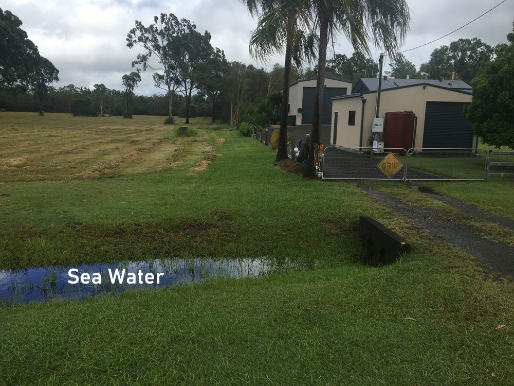
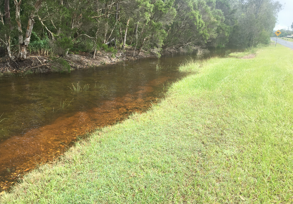
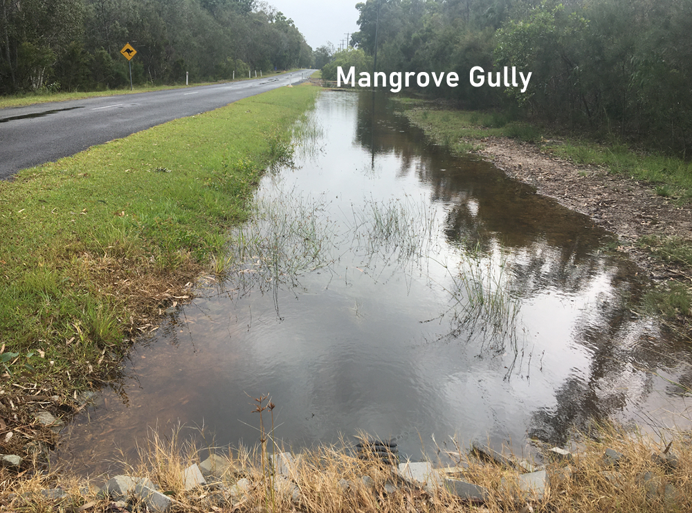
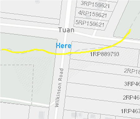
This certainly was sea water being pushed up from the mangrove gully about 150m north along Wilkinson Road
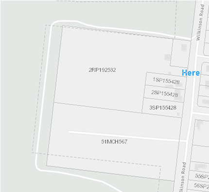
Access to Lot 2 RP192532
Looking south along Wilkinson Road back towards the Subject Site - past the 4 existing residences on the previously subdivided lot
SEE ABOVE
SEE ABOVE
The seaward site of Wilkinsond Road opposite the ABOVE IMAGE
SEE ABOVE
The seaward site of Wilkinsond Road with the seawater coming from the mangrove gully - pushed up by the tide.
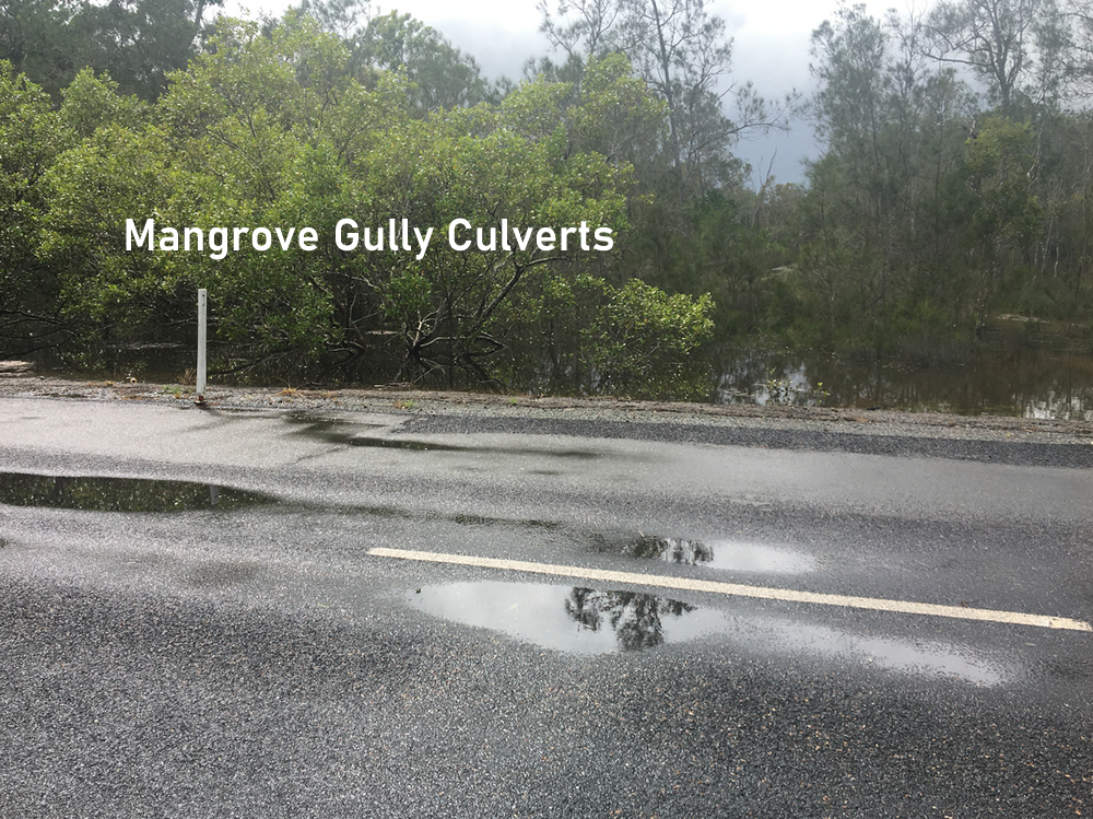
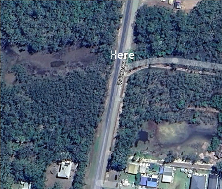
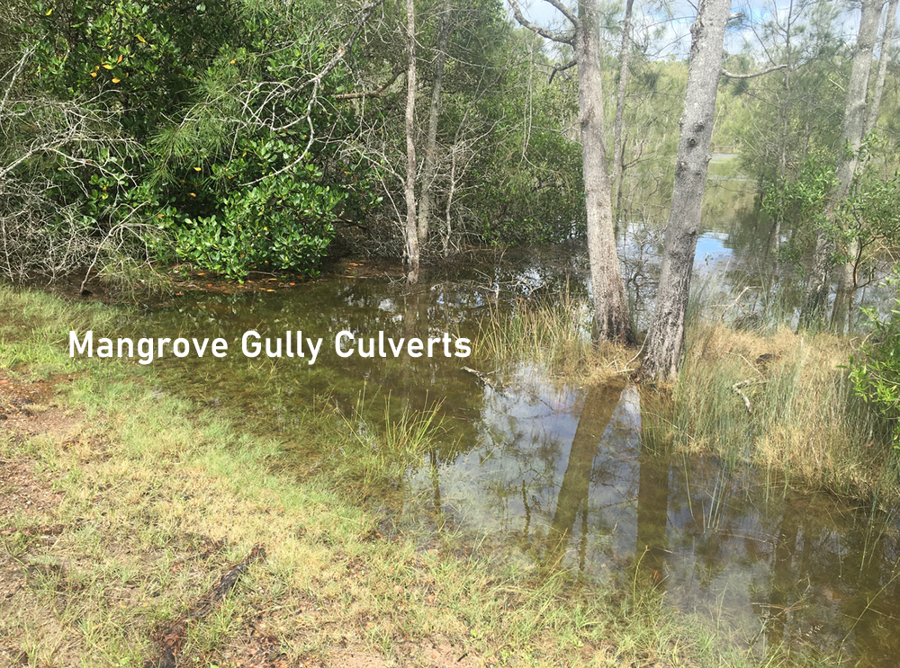
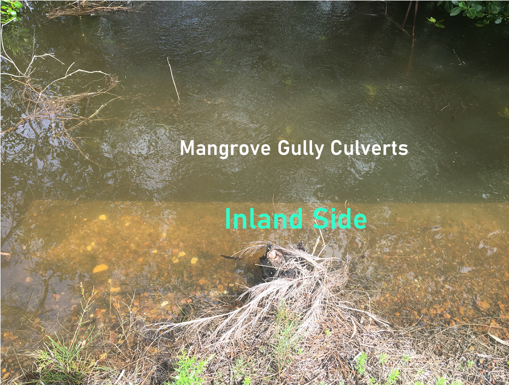
Mangrove Gully Culverts
SEE ABOVE
SEE ABOVE
There is a bridge over Little Tuen Creek
This was taken at the side of the road going around the bend
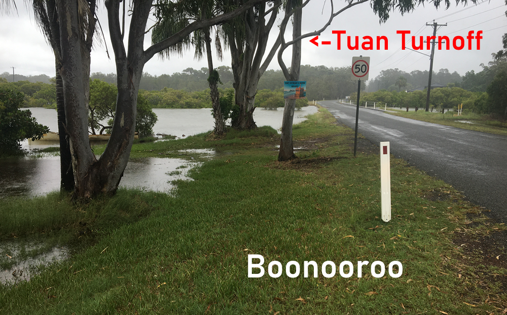
This was taken at the side of the road leaving Boonooroo